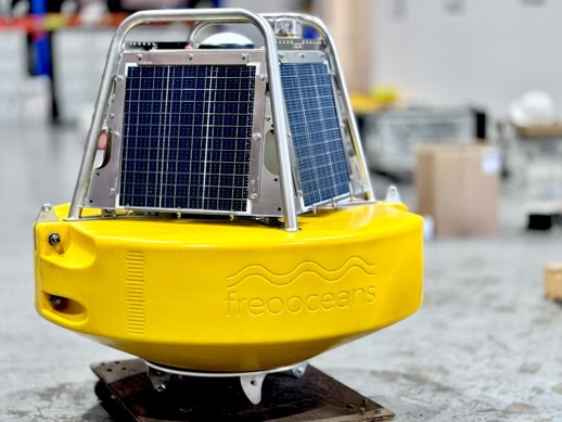
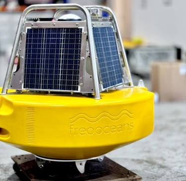
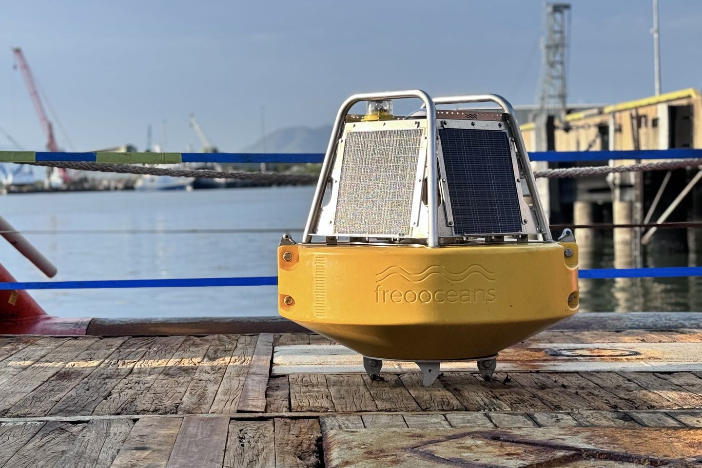
Sharkbuoy PPK & PPP GNSS Tide Buoy
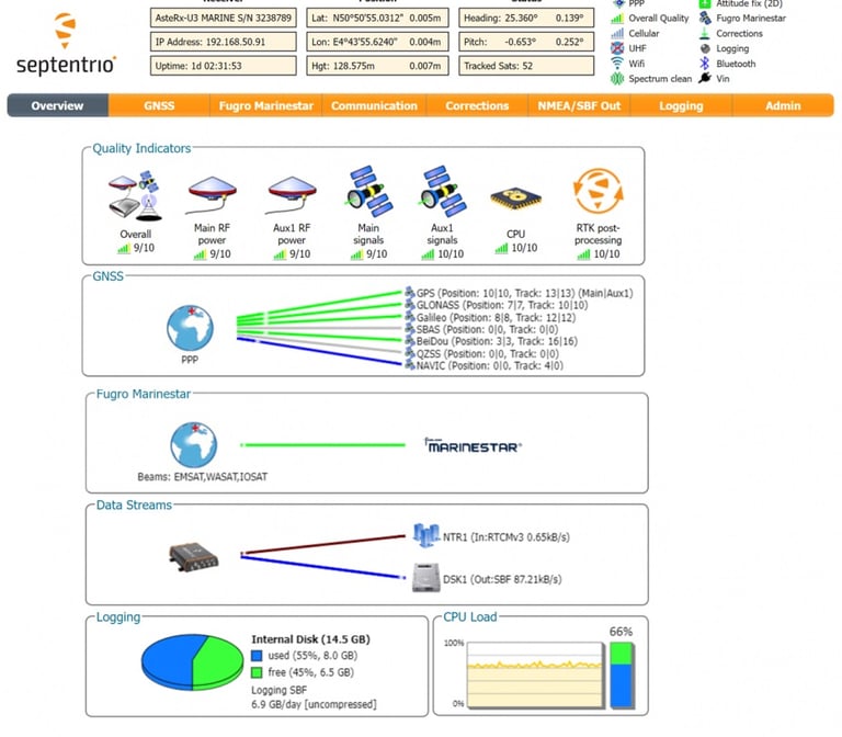
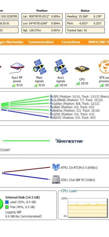
The Sharkbuoy is a state-of-the-art buoy designed for measuring GNSS tide in Australia's tough conditions. It is built by surveyors and metocean specialists who understand the importance of reliable and accurate data collection. With the Sharkbuoy, you can log raw GNSS data for post-processing, or receive Marinestar G4+ for real-time PPP tides.
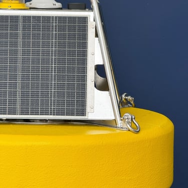
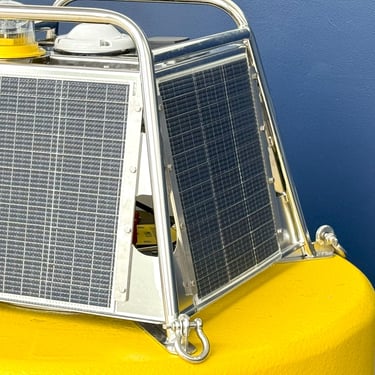
We've designed the Sharkbuoy with a focus on reliability, toughness, and ease of use. Its solar power with battery backup ensures endless logging, and its durable construction can withstand even the harshest of weather conditions.
Features Include:
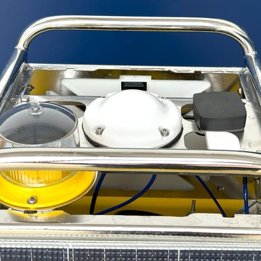
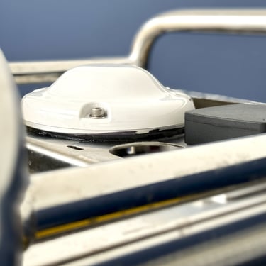
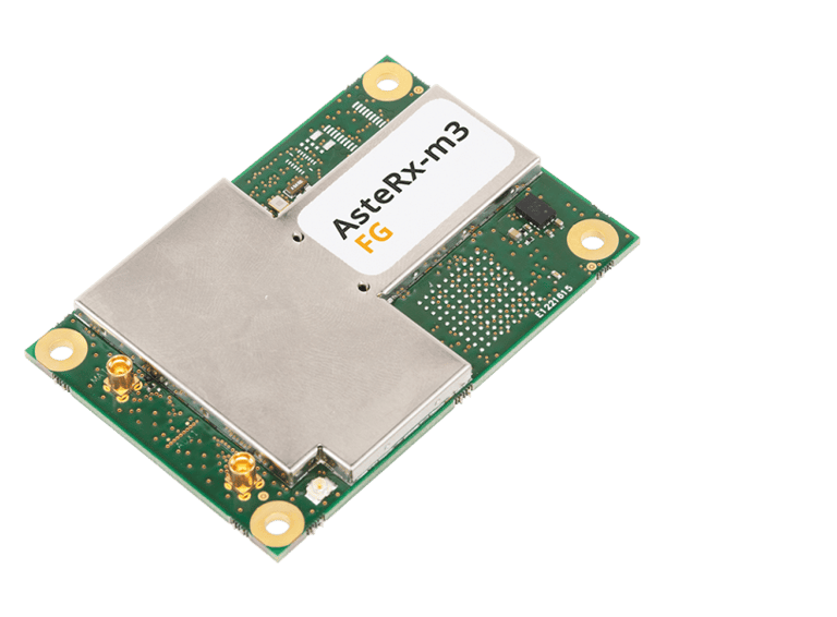
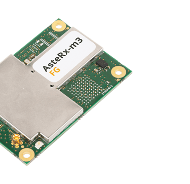
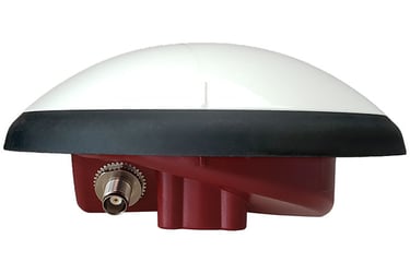
AsteRx-m3 Fg Sepentrio Multi-frequency dual-antenna
Raw data logging on 32 GB flash memory
Real-time 10 minute mean sea level with Marinestar G4+
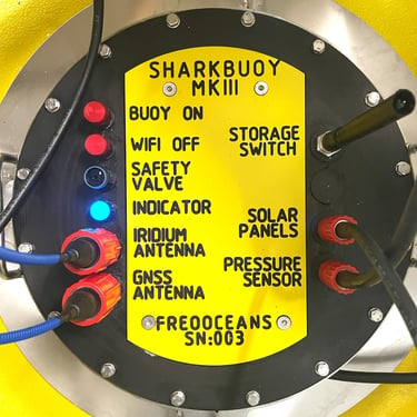
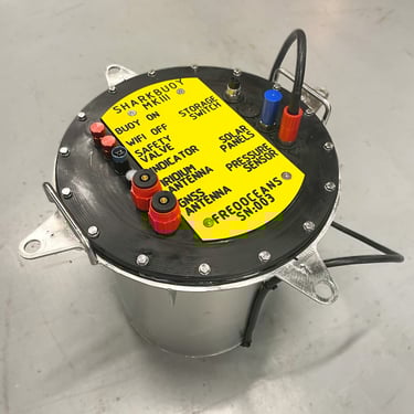
Wi-Fi buoy access to raw and processed data
Perpetual power on batteries and solar
IALA-compliant Sealite SL15 Lantern
Pitch and roll sensor for antenna correction
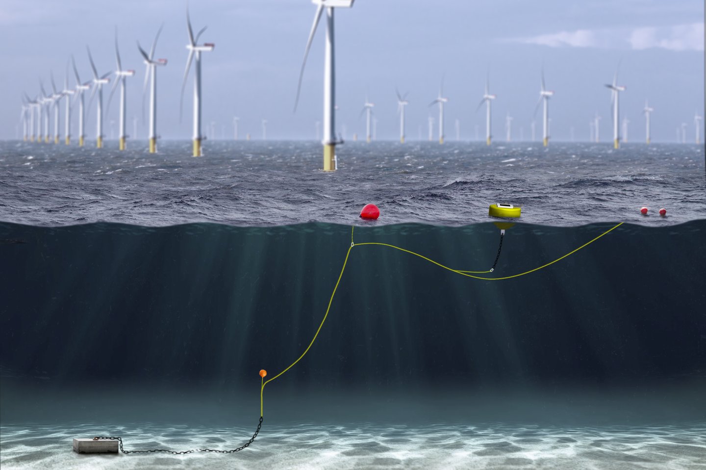
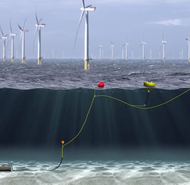
Submergible
Iridium Modem with GNSS tracker
Waterproof on/off switch and replaceable batteries
85 kg buoy with 10kg counter weight
Built like a tank in Fremantle, Western Australia